A project to unlock the future
  • Yamaguchi
  • Shimane
  • Tottori
  • Hyogo
  • Kyoto
  • Fukui
  • Ishikawa
  • Toyama
  • Niigata
  • Yamagata
  • Akita
  • Aomori
back number
YamaguchiHagi City – Nagato City, Yamaguchi Pref.

YamaguchiHigh-Standard Highway “Hagi-Misumi Road”

The Hagi-Misumi Road is part of Route 191 and stretches 15.2 km to help alleviate the burden on the San-in Expressway. The construction of this road was initiated by the Ministry of Land, Infrastructure, Transport and Tourism in 1992, and is scheduled to be completed by the time of the Yamaguchi National Athletic Meet scheduled for October, 2011. This development is expected to improve traffic flow and assist in the convenience of transportation, which should result in strengthening the connection between Hagi City and Nagato City.Hagi City – Nagato City, Yamaguchi Pref.
ShimaneNaka-machi, Okinoshima-cho, Oki-gun, Shimane Pref.

ShimaneSaigo Port Development Project

In the summer of 2010, a new ferry pier and terminal building were completed at Saigo Port on Okinoshima Island in the Japan Sea. The new pier is designed to high quake-resistance standards and with an expanded area in order to provide safer and more comfortable services. The terminal building, constructed from wood sourced from Okinoshima Island, has also been renewed to serve as the perfect maritime gateway facility to the island.Naka-machi, Okinoshima-cho, Oki-gun, Shimane Pref.
TottoriShichiyama Bypass (Yuyama, Fukube Town – Honjo, Iwami Town, Tottori City)

TottoriShichiyama Bypass

The Shichiyama Bypass (7.7km) will connect to roads such as the San-in Expressway, and become a section of the Tottori-Toyo’oka-Miyazu Expressway (approx. 120km), the backbone of the High-standard Highways Network on the Japan Sea side. A tunnel will be built through the difficult Shichiyama Pass for a safe and reliable transportation option. The project is currently underway with the aim of opening two temporary lanes in 2013.Shichiyama Bypass (Yuyama, Fukube Town – Honjo, Iwami Town, Tottori City)
HyogoMiyazu City, Kyoto Pref. – Tottori City, Tottori Pref.

HyogoRegional High-Standard Highway
Tottori-Toyooka-Miyazu Expressway

Tottori-Toyooka-Miyazu Expressway (TTM) stretches approximately 120 km from Tottori City, Tottori Prefecture, via Toyooka City, Hyogo Prefecture, to Miyazu City, Kyoto Prefecture. Through the development of TTM, the travel time between Tottori and Miyazu will be shortened to 100 minutes, around half of what it is now. This will hopefully help with the revitalization of interregional exchanges among eastern Tottori Prefecture, Tajima and northern Kyoto Prefecture. The connecting of TTM with the Himeji-Tottori Line of the Chugoku Odan Expressway, the Kita-Kinki Toyooka Expressway and the Kyoto Jukan Expressway will create a circulating network to cover a wide area from the Japan Sea coast to the Pacific Ocean side.Miyazu City, Kyoto Pref. – Tottori City, Tottori Pref.
KyotoMaizuru International Quay

KyotoMulti-Purpose International Terminal Development Plan
Wada Area, Maizuru Port (Major Port)

In November 2011, Kyoto Maizuru Port was designated as a Japan Sea Base Port in three categories: international ferries & international RORO ships, international maritime containers, and ocean-going cruises.
Moving forward, the port will develop a high-speed marine transportation network between the Kansai economic region and neighboring Japan Sea countries, and will be further strengthened as a gateway to the Japan Sea region through initiatives such as attracting cruise lines geared toward the growing number of tourists from other Asian countries.Maizuru International Quay
FukuiMatsumoto City, Nagano Pref. – Fukui City, Fukui Pref.

FukuiChubu Jukan Expressway

This expressway stretches approximately 160 km between Matsumoto City, Nagano Prefecture to Fukui City, Fukui Prefecture, via Takayama City. Construction of this expressway has been conducted in order to connect the Hokuriku region and the Kanto region by the shortest distance and to achieve comprehensive development of the inland Chubu district. After completion, the travel time between Fukui and Tokyo will be shortened from 6 hours and 30 minutes to 5 hours and 40 minutes.Matsumoto City, Nagano Pref. – Fukui City, Fukui Pref.
IshikawaNoetsu Expressway

IshikawaNoetsu Expressway

Noetsu Expressway cuts across the Noto Peninsula, connecting tourist spots scattered around the area, as well as linking the Hokuriku Expressway, the Tokai Hokuriku Expressway, Noto Airport and Nanao Port. The Noto Peninsula features a wide range of attractions, such as a beautiful and rich natural environment, a variety of tourism resources, and bounty from the ocean, and is well known for its traditional handicrafts, including Wajima lacquer ware. It is also known for the kind nature of the local people, as in the saying “Noto is kind, even the earth.” It is expected that the completion of this expressway will bring about further revitalization of both tourism and the industries of the Noto area through an increase in the nonresident population of this area.Noetsu Expressway
ToyamaArea surrounding Toyama Station

ToyamaHokuriku Shinkansen

The Hokuriku Shinkansen line, when completed, will contribute remarkably to the development of those areas along its length, and help ease the burden on the Tokaido Shinkansen. Therefore, it is necessary to urgently conduct its development as a national project to form a land axis along the Japan Sea coast. All the sections in Toyama Prefecture have already been launched with the aim of initiating the service by the end of 2014.Area surrounding Toyama Station
NiigataWest Pier, East Port District, Niigata Port

NiigataInternational Maritime Container Terminal Development Project

Niigata Port, the only international hub port along the Japan Sea coast, has experienced consistent difficulties in controlling waiting ships due to the recent increase in freight transport volume with foreign containers. This terminal development project, approved in 2009, was originally planned to solve the above problem and securing the function of container cargo handling in the case of earthquakes. Through this project, it is expected that container logistics will be greatly improved upon, resulting in the provision of additional security and safety for the surrounding areas.West Pier, East Port District, Niigata Port
YamagataApprox. 26 km between Atsumi and Tsuruoka

YamagataNihonkai Engan Tohoku Expressway

This expressway stretches between Niigata City and Aomori City, via Tsuruoka City, Sakata City and Akita City. The Shonai area of Yamagata Prefecture is rich in natural and tourism resources, and famous as the location for the movie “Okuribito.” When this expressway is completed, there will be an increase in the number of nonresidents flowing into this area. The result of this should see revitalization of the surrounding local areas, through further tourism promotion and expansion of sales routes for local products, such as “Tsuyahime,” a new rice brand from Yamagata Prefecture.Approx. 26 km between Atsumi and Tsuruoka
AkitaAkita Port

AkitaStriving to Be a Hub for International Distribution for China, Korea, and Russia

Construction is moving forward for the international container terminal opening in spring of 2012. In October 2011, a new gantry crane was installed.
In November 2011, Akita Port was designated as a Japan Sea Base Port in the category of international maritime containers. With the national government’s favorable policies and support, the prefecture continues to steadily work toward improvements on Akita Port.Akita Port
AomoriNational Route 280 Yomogita~Kanita Bypass

AomoriNational Route 280 Yomogita~Kanita Bypass

Partially opened on November 11th, 2010. The project began in 2003, and phase I of the construction project – 5,120 meters of the extension project total of 7,150 meters – was completed in 2010. The bypass connects Sotogahama Town and Yomogita Village with prefectural capital Aomori City. It bears an important role for promoting exchange and strengthening connections as “The Road that Supports the Lifestyle of Snow Country, Aomori” and “The Road that Protects Safe Living.”National Route 280 Yomogita~Kanita Bypass
  • Toyama Prefectural Governor’s Bureau
  • (Planning & Inter-Prefectural Cooperation)
  • Main Building 3rd Floor, Toyama Prefectural Offices, Shinsogawa 1-7, Toyama City, 930-8501
  • TEL:076-444-4081
  • FAX:076-444-3473

What is the League of Japan Sea Coastal Promotion?

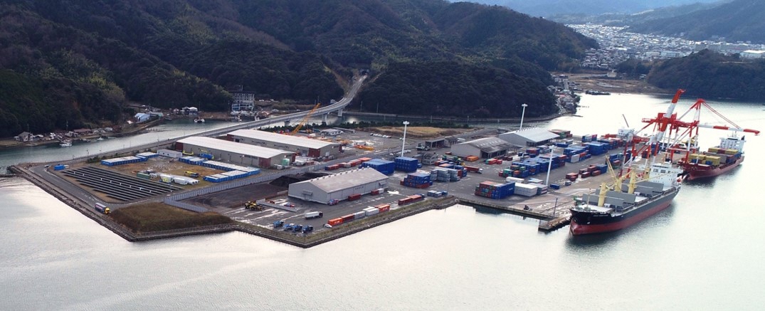
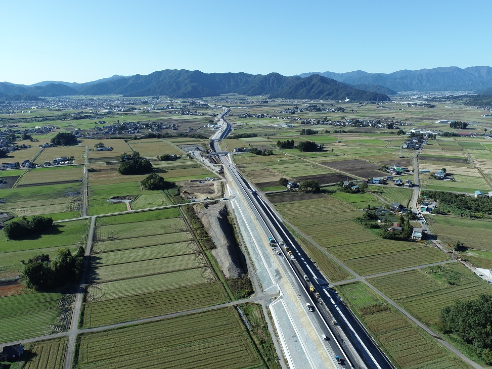
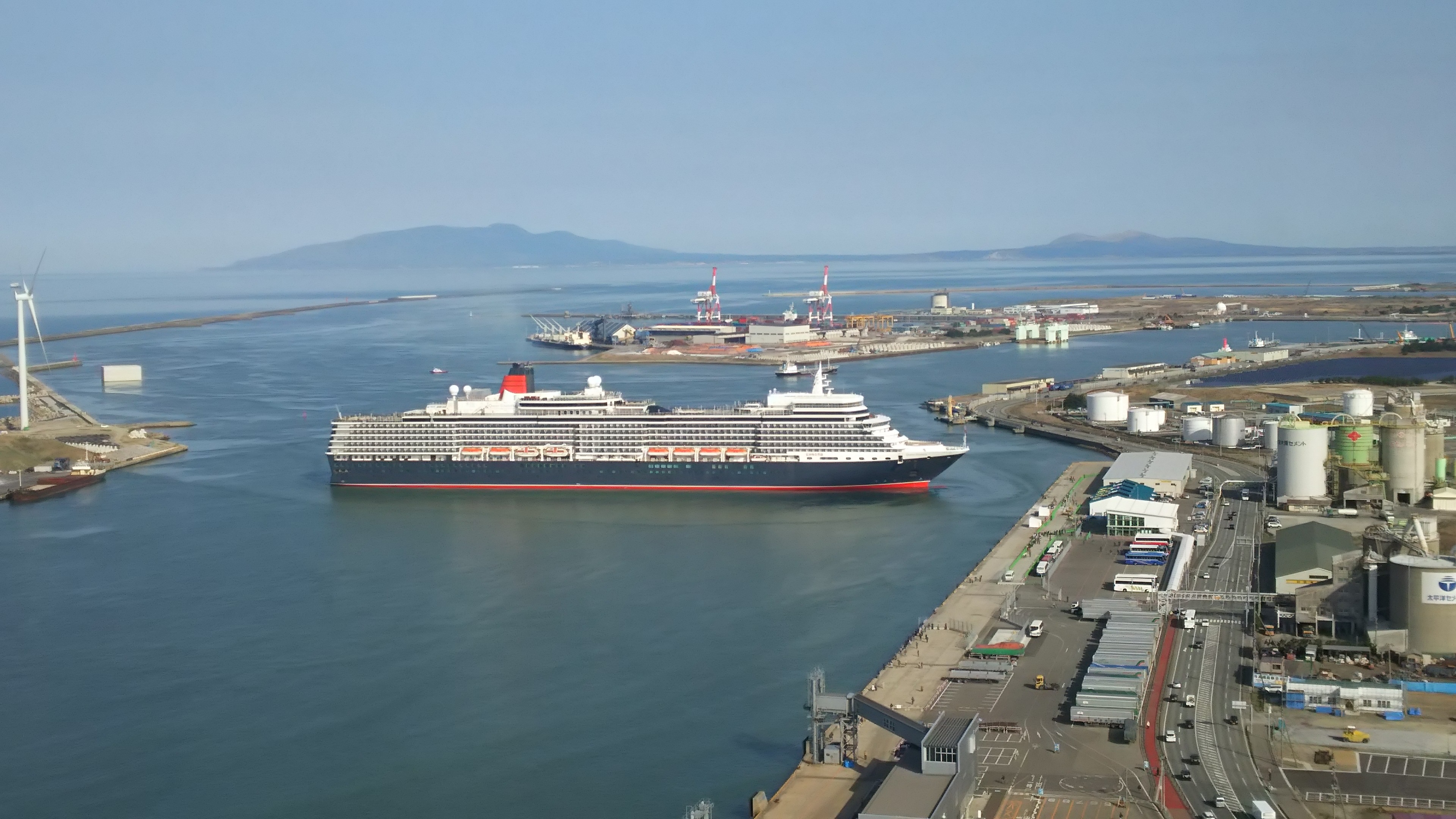
The League of Japan Sea Coastal Promotion (hereafter “the Coastal League”) is made up of the 12 prefectures that have a coastline on the Japan Sea. It was established in 1964 along with the Federation of Members of the Diet for Promoting Japan Sea Coastal Development (which is made up of Members of the Diet from that same area). Since that time it has been striving for the harnessing of regional characteristics such as the bountiful nature and unique culture of the coastal area that faces a maritime area of boundless appeal, along with its excellent human resources, in order to promote activities aimed at developing the Japan Sea coastal zone, such as arranging for improvements in industrial infrastructure and infrastructure for the living environment, including a high speed transportation network, and advancing exchange with the countries across the sea.
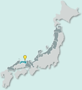
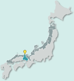
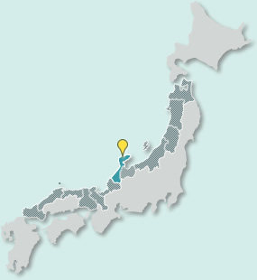
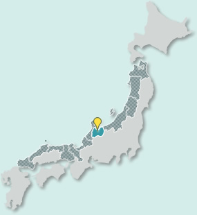
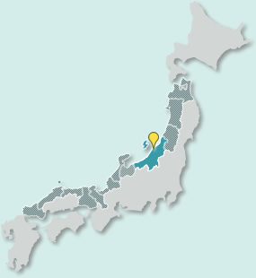
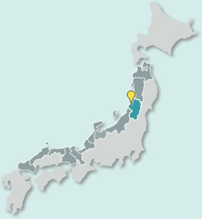
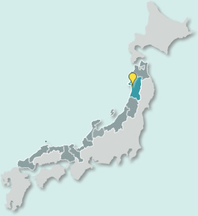
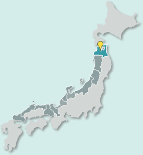
Project Map

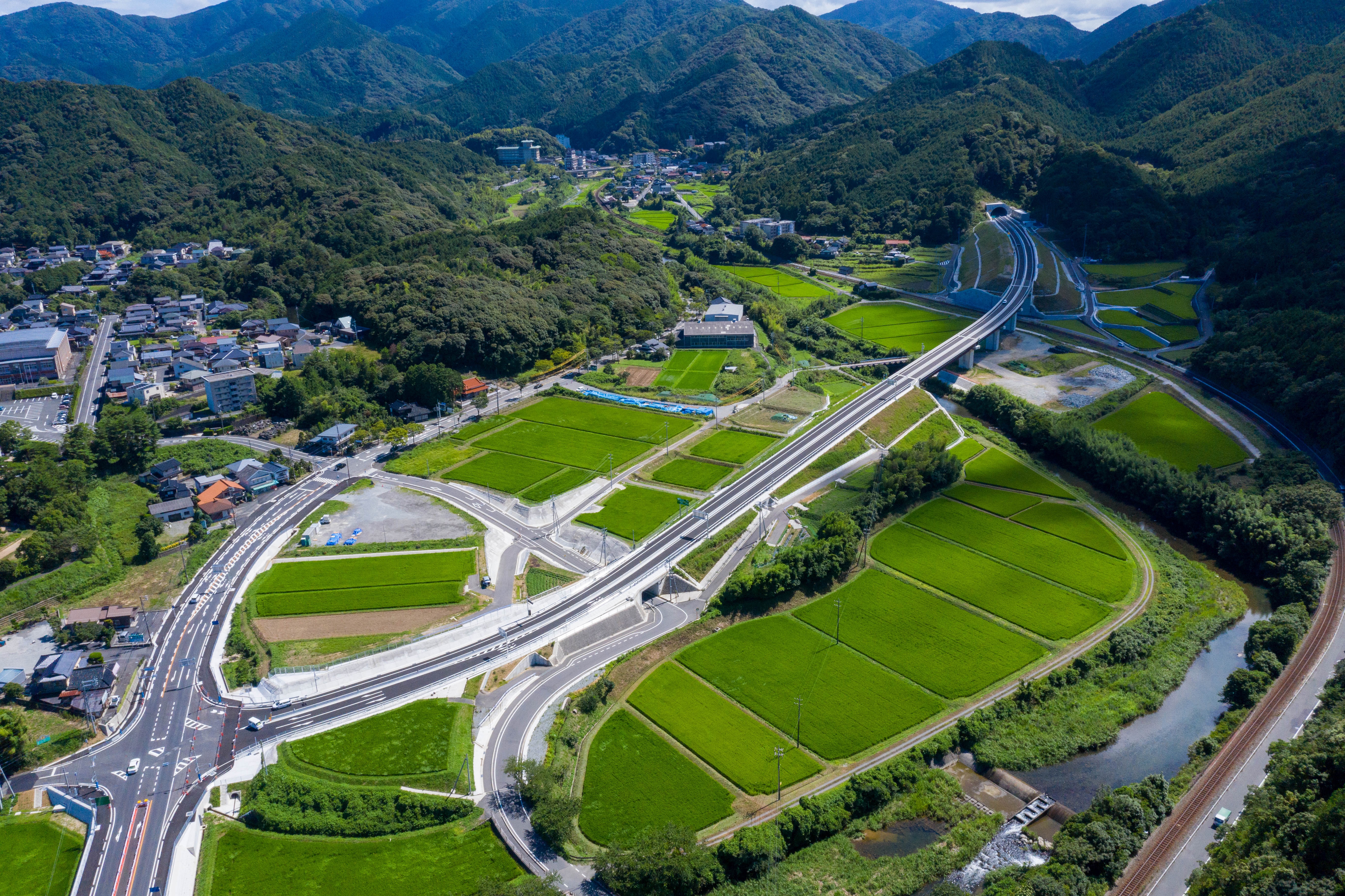
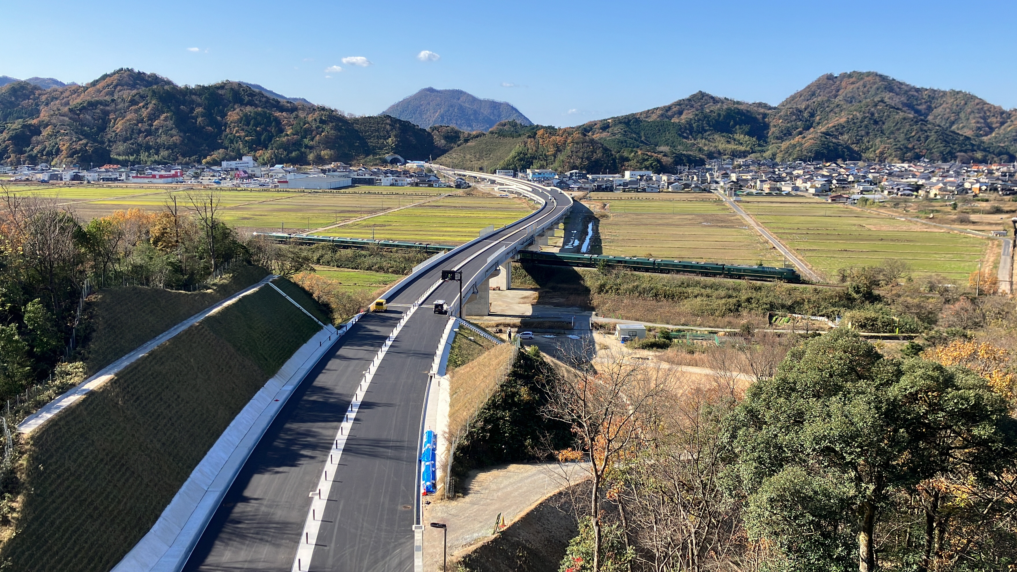
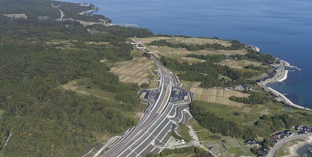
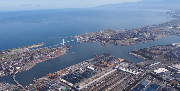
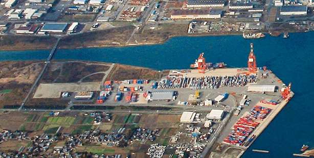
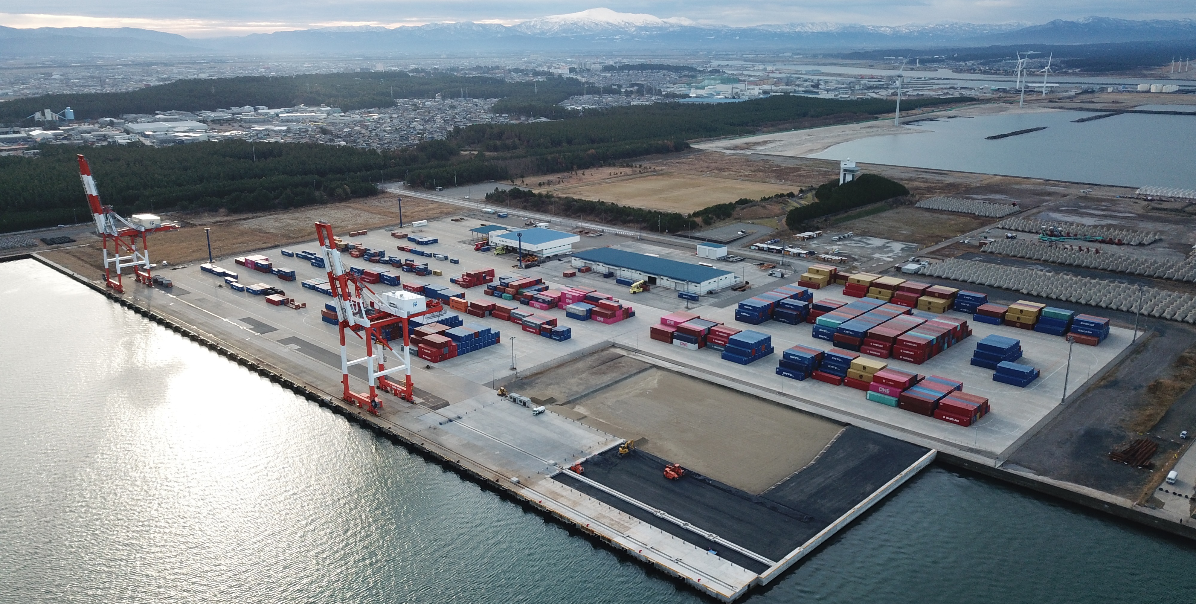
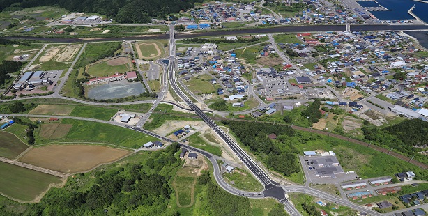
The League of Japan Sea Coastal Promotion is making efforts to develop infrastructure including the high-speed transportation network which will form the basis of “a new national spatial strategy for the 21st Century” by linking organically various functions of society, the economy, living, and culture.

Transmitting appeal

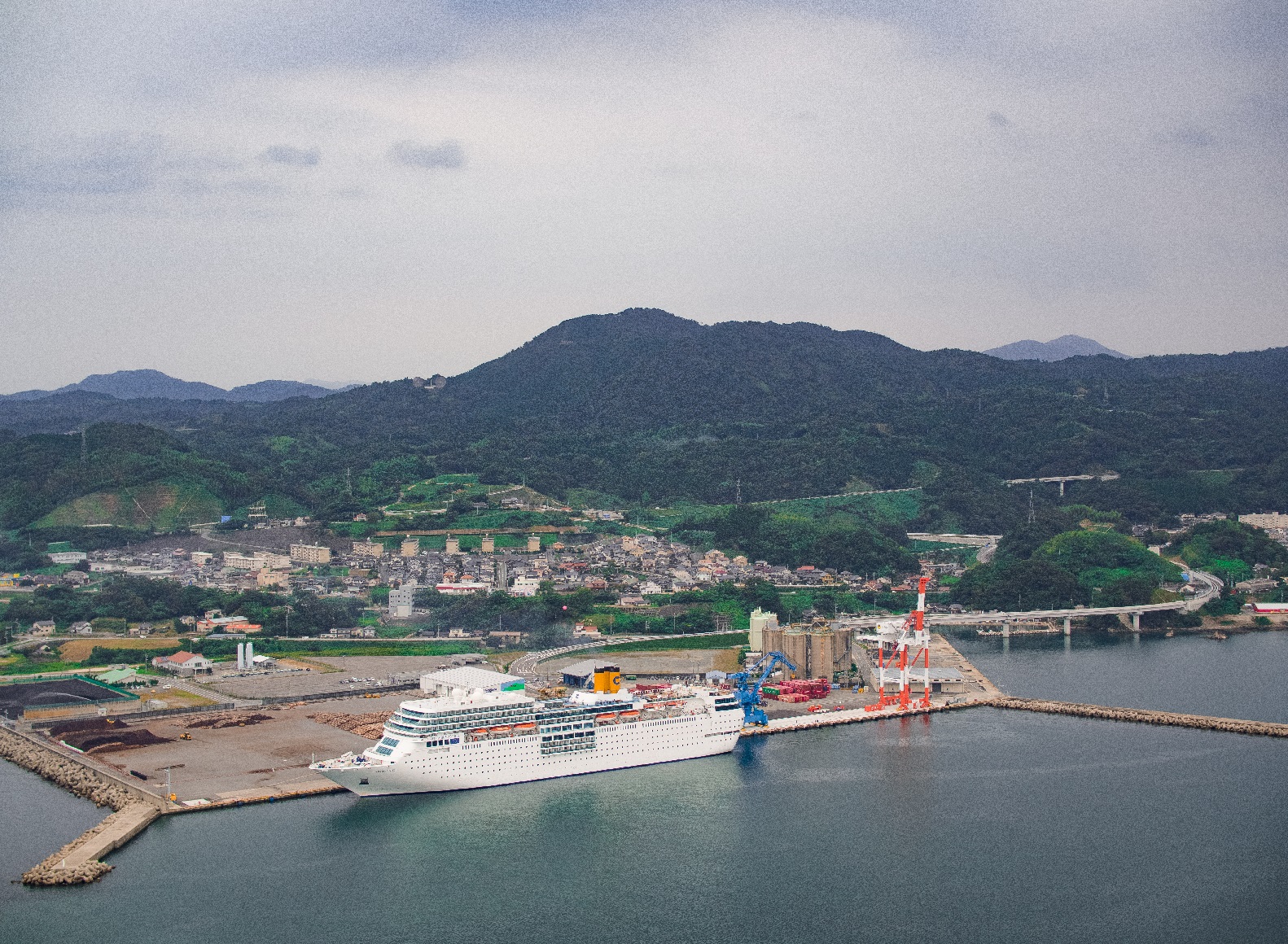
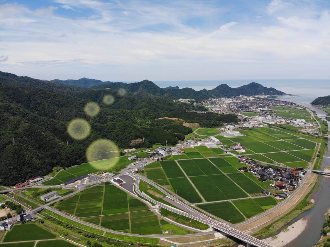
The Japan Sea coastal zone is blessed with bountiful nature and rich culture as well as excellent human resources. Facing the Japan Sea, a maritime region of boundless appeal, the area has extremely high potential for development.